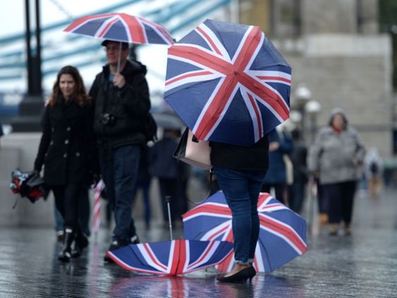
Met Office Warns of Wet and Muggy Conditions After Weekend of Warm Temperatures
Forecasters are warning the public to prepare for a stretch of storms and wet weather that is expected to sweep across the nation as the UK revels in the memories of a brief taste of summer.
As per the data obtained from Met Office and MetDesk, the weather forecast appears to be less promising, even after certain regions of England and Wales saw temperatures reaching a comfortable 20°C a few days ago.
Maps from the Met Office show that the warm weather will give way to cooler conditions, with highs in the mid-to high teens predicted for most of the country this coming week. Overcast skies and humid conditions are expected to accompany rain bands that are expected to originate from both the continent and the Atlantic.
London and the south may see highs of about 19°C, although northern Scotland is likely to see colder temperatures between 12 and 14°C. No major temperature hotspots are predicted. By the weekend, most of the UK is predicted to be in the 14–17°C range.
Although most people have had a dry start to the week, the Met Office has issued a warning that thundery thunderstorms could develop later in the week. As part of a wider band of rain sweeping in from northern Europe, easterly showers are predicted to travel throughout Lincolnshire, the Northeast, and into Scotland by Tuesday evening.
While Scotland is expected to see widespread rains on Wednesday, the east coast of England might avoid the brunt of the rain. On the other hand, as the rain from Europe is forced eastward into the North Sea, the fast-moving westerly showers from the Atlantic that arrive on Thursday offer better skies for the Highlands and Islands.
With the week coming to a conclusion, MetDesk data points to a dry Friday. Over the weekend, another band of easterly rain is likely to slowly move across the UK and Ireland, bringing with it temperatures that will likely stay in the high teens throughout the region.